See where it’s safe to go — right now.
see1m turns real seabed data into a live coastal decision surface. View tide-aware safe navigation, current shoreline, and underlying depth structure in one simple map.
What see1m does
Safe navigation
See where it is safe to go at the current tide, at lowest spring tide, or with tighter clearance.
Real seabed structure
Built from merged seabed data rather than relying on broad chart interpretation alone.
Focused coastal projects
High-resolution, bay-by-bay mapping that is practical to deploy, update, and present.
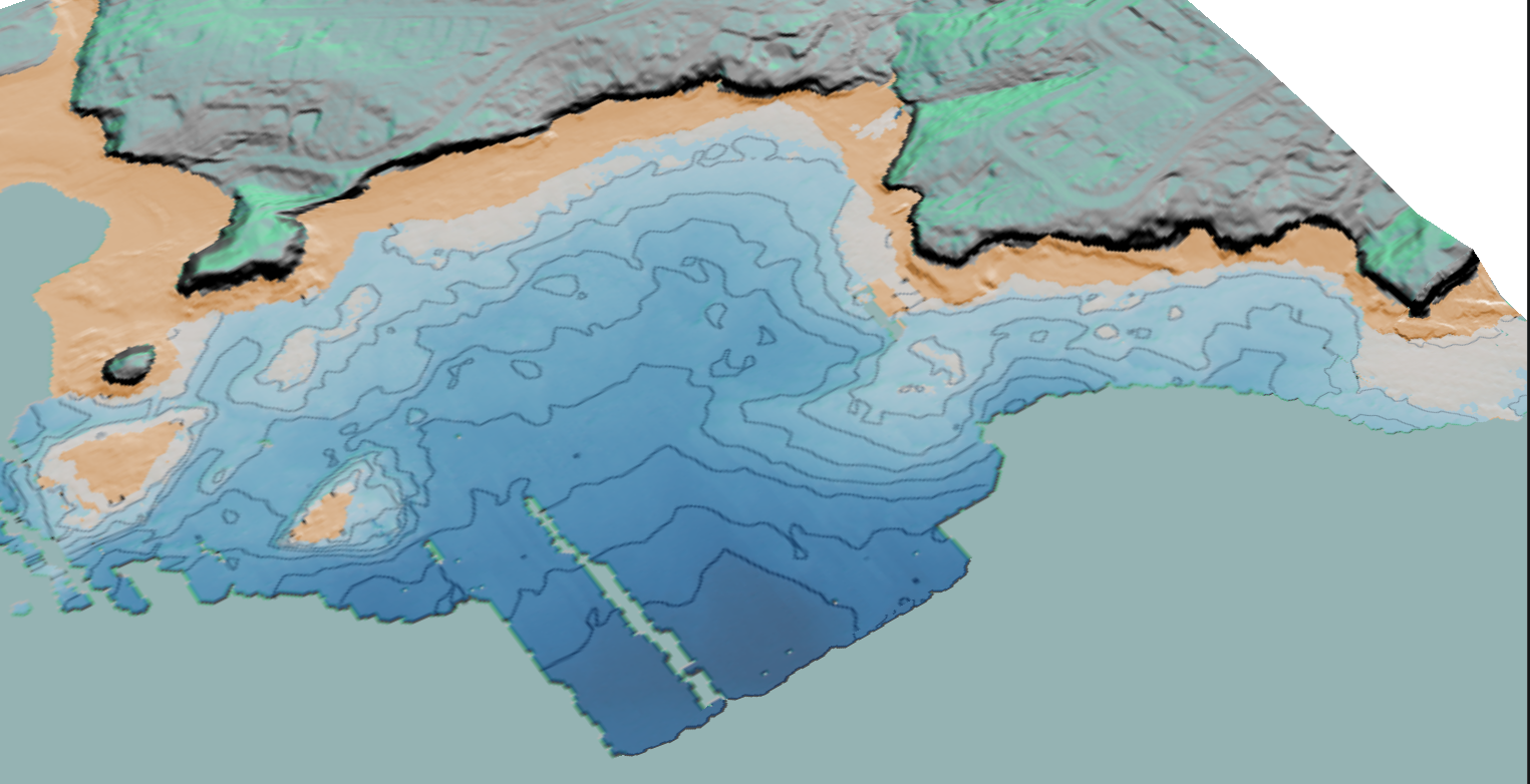
Live example: Torbay

Torbay is the proof
The Torbay viewer is the first public see1m coastal example. It combines:
- Satellite and see1m depth views
- Safe depth modes for real navigation decisions
- Intertidal and current shoreline layers
- A tide graph linked directly to map meaning
Related system: Rain → Stream → Coast
Why the rain player still matters
The rain player shows the wider see1m idea: dynamic environmental systems made directly viewable in the browser. It is still valuable as a second proof of the platform.
- Rainfall history replay
- Catchment and stream response context
- A related visual system built for direct use, not dashboards